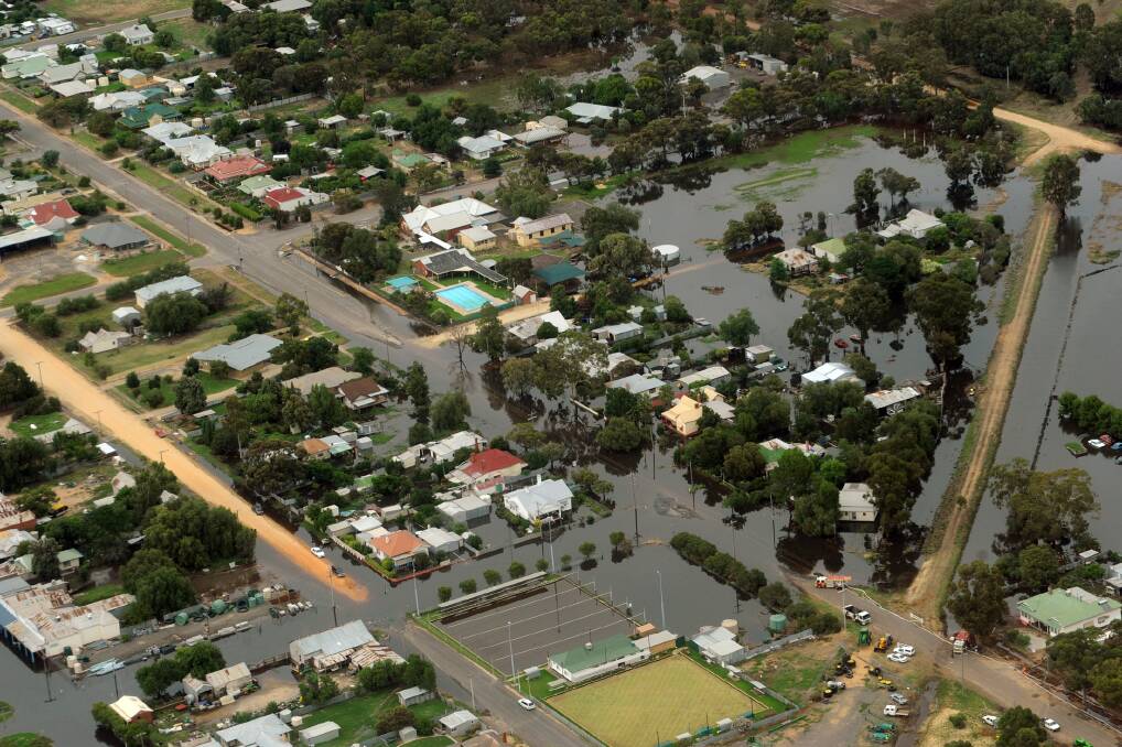
WIMMERA Catchment Management Authority will present completed flood maps for Dunmunkle Creek at community meetings in the next two weeks.
Subscribe now for unlimited access.
$0/
(min cost $0)
or signup to continue reading
The authority will host meetings at Rupanyup, Lubeck and Boolite to discuss the maps and flood mitigation options as part of the Dunmunkle Creek Flood Investigation.
The study aims to improve flood planning, preparation and response. Wimmera CMA floodplain management team leader Paul Fennell said computer modelling replicated the 2011 floods in the area.
“There have been a number of channel decommissions in that period, so we have done a model with the same amount of water as 2011, but with today’s configurations,” he said.
“The discussions are about making sure we have got it right and the models are reflective of people’s understanding and experiences.
“We want to know what could be done, if anything, to improve the situation if another flood occurred.”
The Dunmunkle Creek flood investigation area spans from Glenorchy in the south to Carron in the north.
“It is a really broad landscape that we are dealing with,” Mr Fennell said.
“At its widest, the investigation area is about 20 kilometres.”
Mr Fennell said residents raised flood mitigation suggestions at a meeting earlier in the year. “We're interested in teasing those things out a little more,” he said.
“There have been discussions about increasing culvert sizes in particular areas, and building an understanding of what channels and changes to the landscape might do. We are not wedded to any particular solution.
“People have suggested levees, improving drainage, and adding pipes, culverts or bridges.”
Mr Fennell said discussions would also include how to improve access between points, and warning systems. He said the study was due to be completed by the end of the year.
“We are running a little bit behind at the moment. We were hoping October, but we are now looking at a month or two beyond that,” he said.
“The study being completed is dependent on the discussions that come out of the meetings and the complexity of solutions suggested.
“I always talk to the community about getting it right, rather than getting it wrong but on time.
“We believe we've done a good job, but people's experience will tell us that.”
The meetings will kick off at Boolite Community Hall on Monday night.
A meeting at Lubeck Community Hall will follow on Wednesday.
The final meeting at Rupanyup Recreation Reserve is on September 9.
Mr Fennell said all meetings started at 7pm.

