The Bureau of Meteorology is predicting 10 to 15 millimetres of rain to fall in the Wimmera next week Senior forecaster Richard Carlyon said on Friday frost warnings would be likely across Victoria across each of the next three mornings, before a series of cold fronts moved through the state on Tuesday. "Basically there will be a cold front per day until Friday, which will bring windy, showery and cold conditions across the state," he said. READ MORE: Wimmera farmers looking for winter rain to boost their crop "It looks like the first one will just be a clipping front, but the second one late Wednesday and early Thursday is likely... to bring he wettest conditions across the south western part of the state. "Through the Wimmera and northern parts of the country, we could see falls of 10 to 15 millimetres build up over those three to four days." Duty forecaster Miriam Bradbury said the cold fronts meant there was a slight chance of snow in the Grampians to start July. READ MORE: Wimmera COVID-19 testing ramps up "Through the day on Thursday we are expecting the snow level to drop to 1100m through Western Victoria and sit around that level until the weekend," she said. "At the same time the forecast is for five millimetres of rainfall on Thursday and Friday, so those are the two days with best chances of getting snow. It will only be a few centimetres - 10 centimetes or less - of snow on highest peaks, and that's being optimistic." "For snow in the Grampians, we're looking for stronger fronts with much colder air, and these are not really those strong wintery fronts." CLICK HERE TO SUBSCRIBE TO THE WIMMERA MAIL-TIMES TO ACCESS ALL THE NEWS
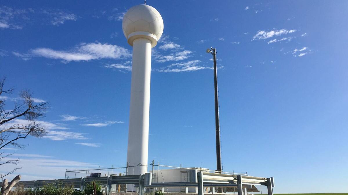
The Bureau of Meteorology's weather radar at Rainbow, which came online earlier this year.
The Bureau of Meteorology is predicting 10 to 15 millimetres of rain to fall in the Wimmera next week
Senior forecaster Richard Carlyon said on Friday frost warnings would be likely across Victoria across each of the next three mornings, before a series of cold fronts moved through the state on Tuesday.
"Basically there will be a cold front per day until Friday, which will bring windy, showery and cold conditions across the state," he said.
"It looks like the first one will just be a clipping front, but the second one late Wednesday and early Thursday is likely... to bring he wettest conditions across the south western part of the state.
"Through the Wimmera and northern parts of the country, we could see falls of 10 to 15 millimetres build up over those three to four days."
Duty forecaster Miriam Bradbury said the cold fronts meant there was a slight chance of snow in the Grampians to start July.
"Through the day on Thursday we are expecting the snow level to drop to 1100m through Western Victoria and sit around that level until the weekend," she said.
"At the same time the forecast is for five millimetres of rainfall on Thursday and Friday, so those are the two days with best chances of getting snow. It will only be a few centimetres - 10 centimetes or less - of snow on highest peaks, and that's being optimistic."
"For snow in the Grampians, we're looking for stronger fronts with much colder air, and these are not really those strong wintery fronts."