Cropping & Soil
12 November, 2025
Researchers developed new Rainfall Mapper app
Federation University researchers have developed a groundbreaking tool that allows farmers to visualise rainfall variations across their properties with remarkable detail.
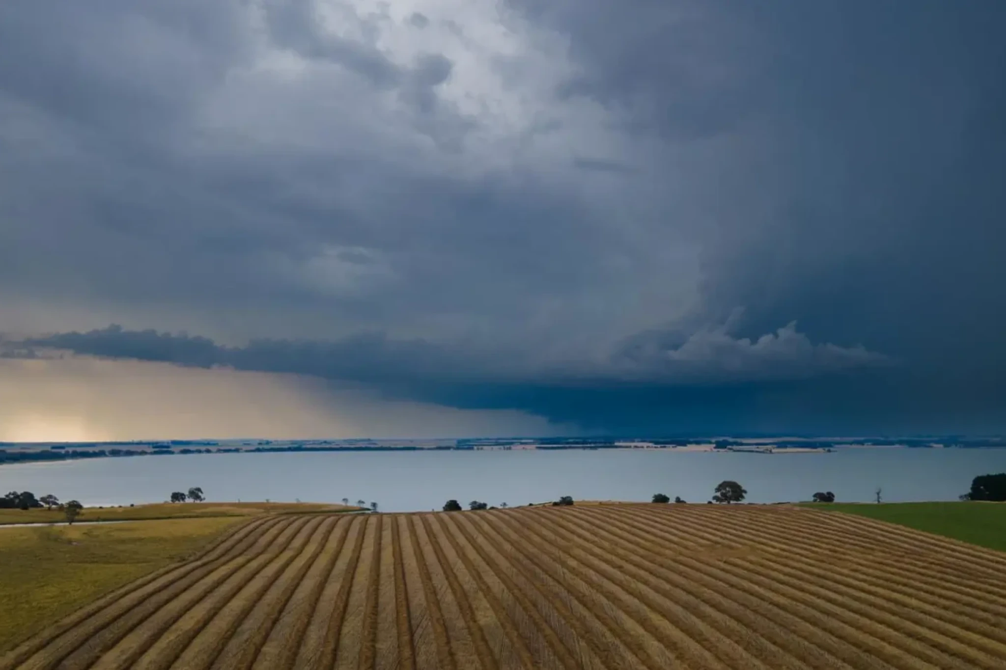
'Rainfall Mapper' created by the Centre for eResearch and Digital Innovation (CeRDI), enables users to view rainfall data in 500 by 500-metre tiles for specific locations and time periods.
The tool is designed to help farmers make more informed decisions about crop planning and irrigation by providing detailed, property-level rainfall insights.
Developed from research by Dr Peter Weir during his Soil CRC PhD project, Rainfall Mapper uses data from the Bureau of Meteorology’s (BoM) rain gauge network and weather radars, combining them into the Rainfields3 dataset hosted by the National Computing Infrastructure.
“It is an area measurement - not a point measurement from a single location,” Dr Weir said.
“That means the app has the capability of picking up rainfall details of localised thunderstorms that often occur unmeasured between official Bureau of Meteorology gauges.”
Regional rain gauges are often spaced 30 to 50 kilometres apart, leaving many areas without accurate rainfall data.
“We’re very careful with our disclaimer because the rainfall amounts are dependent on the modelling of the weather radar signal to estimate the amount of rain that has fallen in that specific area, but the results are extremely interesting,” Dr Weir said.
Currently available to the public on a trial basis, Rainfall Mapper was first demonstrated at the Soil CRC Conference in 2024, where it received overwhelming interest.
The trial aims to improve the tool’s design and enhance user experience, while also exploring practical applications for farmers and environmental managers.
CeRDI Principal Research Fellow Associate Professor Peter Dahlhaus, who supervised the project, said the fine resolution and visual clarity make Rainfall Mapper valuable for a wide range of users.
“If you’re a farmer and you want to seed your paddock, you would like to know how much rain you’ve had since the last harvest, and when and where the rain has fallen,” he said.
“It’s farmers and farming groups that are currently showing interest in the app.
“Apart from the agricultural sector, I anticipate strong interest from people involved in catchment management and those living in high-rainfall areas.
“Biodiversity groups are also likely to find this tool valuable.”
He added that rainfall patterns are changing due to climate shifts.
“Instead of getting normal reliable winter rain, we’re now getting more scattered intense rain events and scattered showers.
“The resolution is so much finer than any other tool that is available.”
Rainfall Mapper uses radar data to model rainfall at ground level and Prof Dahlhaus said the research is “shining a light in a dark corner” to show already available information in a user-friendly way.
The application currently includes two years of rainfall data, with plans to expand its capabilities.
“Now we are going on to the next step, which is to convert this rainfall data into soil moisture at a finer resolution than we have been able to do so far,” Prof Dahlhaus said.
“The important point is not just the rain that has fallen on a specified area - this is valuable information, but a lot more interest will come when people are able to say how much water is in the bucket.”